
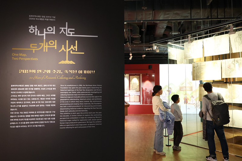
A family on Oct. 16 looks at old Western maps beyond the entrance to the exhibition hall of Dokdo Museum Seoul in Seoul’s Yeongdeungpo-gu District, where the Northeast Asian History Foundation’s exhibition “One Map, Two Perspectives” is being held to mark the institution’s 20th anniversary.
By Lee Ji Yae and Yoon Sojung
Photos = Park Dae Jin
How did the Joseon Dynasty (1392-1910) document and govern the islands of Ulleungdo and Dokdo?
A clear answer to this question is at an exhibition hosted by Dokdo Museum Seoul in Seoul’s Yeongdeungpo-gu District. Titled “One Map, Two Perspectives,” the display marks the 20th anniversary of the Northeast Asian History Foundation.
Through Nov. 29, the event features historical materials documenting the perceptions over time of the Korean Peninsula and its surrounding islands, including 57 maps from the foundation’s collection, Western exploration maps and those produced by Joseon for administration.
Joseon put considerable effort into cartography to systematically understand and manage its territory. Sutogwan, or maritime inspectors for studying islands, were deployed to Ulleungdo to examine its terrain, natural environment and traces of habitation for reporting to the government.
For 200 years, information collected from these surveys was recorded in maps and documents from 1694-1894.
One of the exhibition’s highlights is Map of Ulleungdo (Ulleungdodo), which was unveiled to the public for the first time. Owned by the Kansong Art and Culture Foundation, this is considered the earliest surviving record of Joseon’s practice of dispatching such officials to manage the island.
This map is also believed to be older than Map of Ulleungdo (Ulleungdodo-hyeong) produced in 1711, which was previously the oldest known map of the island.
The Ulleungdodo map has detailed depictions of on-site surveys of Ulleungdo’s terrain, bamboo forests and traces of habitation. Curator Kim Bo young said, “The detailed depictions on the map largely correspond to the records in Ulleungdo Sajeok (Track Records in Ulleungdo), which documents the 1694 survey of the island.”
Map of Ulleungdo, which is owned by the Kansong Art and Culture Foundation, and Track Records in Ulleungdo by the Joseon era military official Jang Han-sang are on display at the exhibition “One Map, Two Perspectives” at Dokdo Museum Seoul, which marks the 20th anniversary of the Northeast Asian History Foundation.
The way place names and geographical features are depicted on maps offer important clues for estimating when they were produced, she added.
“Unlike the other map that clearly has place names, the Ulleungdodo map has little clear notation of geographical locations,” she said. “This is evidence that it was produced far earlier.”
Kim also highlighted the close historical connection between Ulleungdo and Dokdo. “Track Records in Ulleungdo also contains observations of an island in the sea east of Ulleungdo — namely Dokdo — demonstrating that Joseon recognized and governed Dokdo as part of its territory,” she added.
The exhibition also presents materials demonstrating how Joseon systematically recorded information about its territory through government-sponsored compilations of documents and on-site surveys.
In addition, the display traces how Western perceptions of the Korean Peninsula evolved over time. Early Western maps sometimes showed the peninsula as an island or detached from the Asian mainland.
A later map of Joseon is Royaume de Coree (Kingdom of Korea), a 1735 edition by French cartographer Jean-Baptiste Bourguignon d’Anville. This work depicts the peninsula’s outline more closely resembling its geographical counters.
The surrounding waters show islands identifiable as the islands of Jeju, Ulleungdo and Dokdo, showing how Dokdo was understood in Western cartography at the time as an island of the peninsula.
“A key highlight of the exhibition is comparing individual maps to see how geographical depictions and place name labels get more clearly defined over time,” Kim said. “We hope that visitors don’t look at Dokdo solely as a territorial issue and instead gain an understanding of the island’s many facets as seen in geographical and historical records.”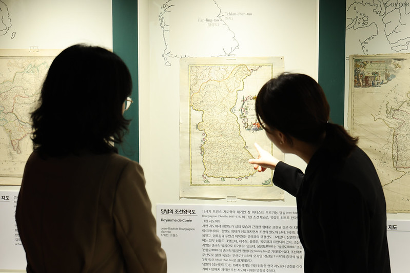
Curator Kim Bo young (right) on Oct. 16 explains the 1735 map Royaume de Coree (Kingdom of Korea) by French cartographer Jean-Baptiste Bourguignon d’Anville at the special exhibition room of Dokdo Museum Seoul in Seoul’s Yeongdeungpo-gu District.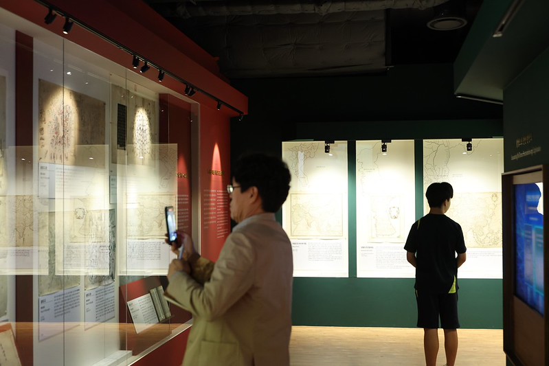
A visitor on Oct. 16 takes a photo of an old map at the exhibition “One Map, Two Perspectives” at Dokdo Museum Seoul in Seoul’s Yeongdeungpo-gu District.
ljyhwa@korea.kr